Ii O 8'
.ATLAS
AARDE
IN 29 KAARTEN.
Nederlandse atlassen uit de 19e eeuw 403
1>KI{
TK t; IluN I Ni: i:n Ul i .1. 1$. WOLTERS, IST*.
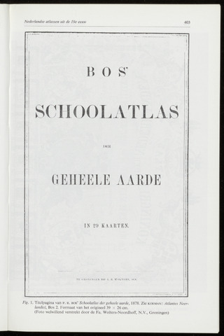
Fig. 1. Titelpagina van p. r. bos' Schoolatlas der geheele aarde, 1878. Zie koeman: At/antes Neer-
landici, Bos 2. Formaat van het origineel 39 x 26 cm.
(Foto welwillend verstrekt door de Fa. Wolters-Noordhoff, N.V., Groningen)

